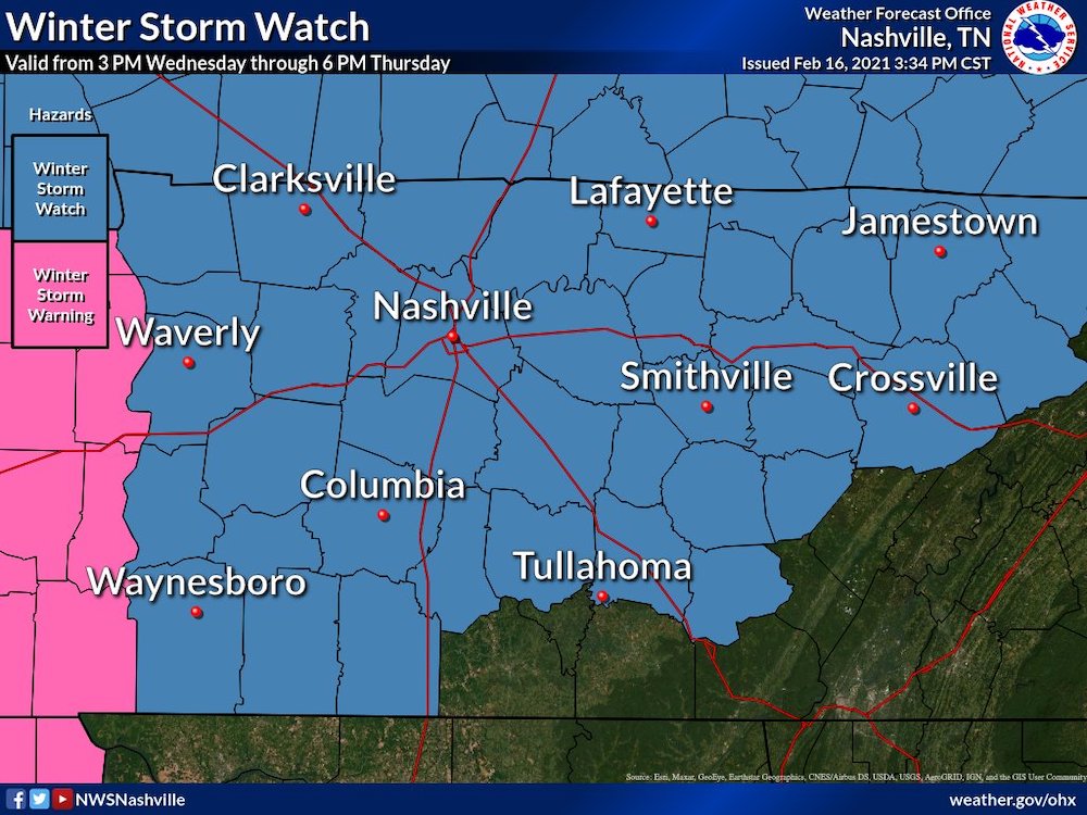
A second wallop of bad weather is on its way to the region, but forecasters are noting extreme uncertainty on the exact mix of freezing rain, snow and ice.
What is likely, though, is another run of difficult driving.
“With all the snow and ice still on the ground, anything on top of it, just makes it worse. So, even if it was just a little bit, it’s going to amplify what’s already on the ground and make it a little bit harder for road crews to keep things clear, especially on secondary roads,” says Josh Barnwell, a meteorologist at the National Weather Service.
High temperatures on Wednesday are expected to approach the thawing point. But they could still be below freezing in the atmosphere, complicating the forecast. The weather service is hedging on the accumulations, but expects accumulations of some combination of sleet and snow. In Nashville, up to 4 inches could accumulate through Thursday. Chances of snow are again higher to the northwest.
Tuesday’s weather briefing is available online.
The Tennessee Department of Transportation says it has more than 800 salt trucks and 600 brine trucks available to combat winter storms. But driving is not advised.

