
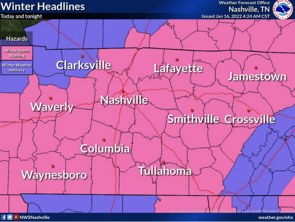
Tennesseeans are waking up to a soggy mix of rain, sleet and snow as a major winter storm pelts a large swath of the Southeast this weekend.
The National Weather Service says borderline temperatures, hovering above and below 32 degrees, means a back-and-forth switch from rain to sleet to snow through much of Sunday.
Current forecasts show the cold drizzle in and around Nashville transitioning to snow by 2 p.m. Snowfall in Nashville could total up to 3 inches, with high variability depending on surface temperatures and elevation.
Models expect the mixy rainy slushy stuff to move east, with a changeover to a snow that'll splat:melt and attempt to accumulate this afternoon / 1018 AM pic.twitter.com/fXpLyEHf4Y
— NashSevereWx (@NashSevereWx) January 16, 2022
According to the latest NWS bulletin, “the more intense precipitation will fall as snow and the lighter stuff will be more sleet and liquid.”
Best chances for heavier snow will occur in areas around Columbia to McMinnville and across the Plateau.