The Cumberland River flows through Nashville for a winding 55 miles, and all those bends mean many residents spend a huge chunk of time living or working near the water. But it doesn’t always feel that way, as we found out in This Is Nashville ‘s river recreation episode.
With that in mind, WPLN is drawing from our expert guests and past reporting for this quick guide to some easy — and quirky — ways to connect with the river. You can also glance at Metro’s list of boat ramps — but this list isn’t solely about “putting in.”
We’ll follow the river’s flow, starting around Old Hickory Lake in the northeast part of Davidson County, then follow the bends through downtown and out west.
Hill’s Island
This little island in the river is now in the hands of the Cumberland River Compact. It’s not simple to reach, but put in at the Tailwater Access Area near Old Hickory Beach (itself a fun place to visit) and it’s about 4 miles to the island. Before you go, catch up on the island’s history as captured by This Is Nashville executive producer Andrea Tudhope.
 Andrea Tudhope WPLN News
Dr. Learotha Williams’ visits Hill’s Island.
Peeler Park
As you learn the river, you also learn the bends. So travel through Madison and venture down into Neely’s Bend to reach Peeler Park. The boat ramp is simple enough, and you can explore the land attractions, which include horseback riding trails and a remote control airplane airfield.
Shelby Bottoms
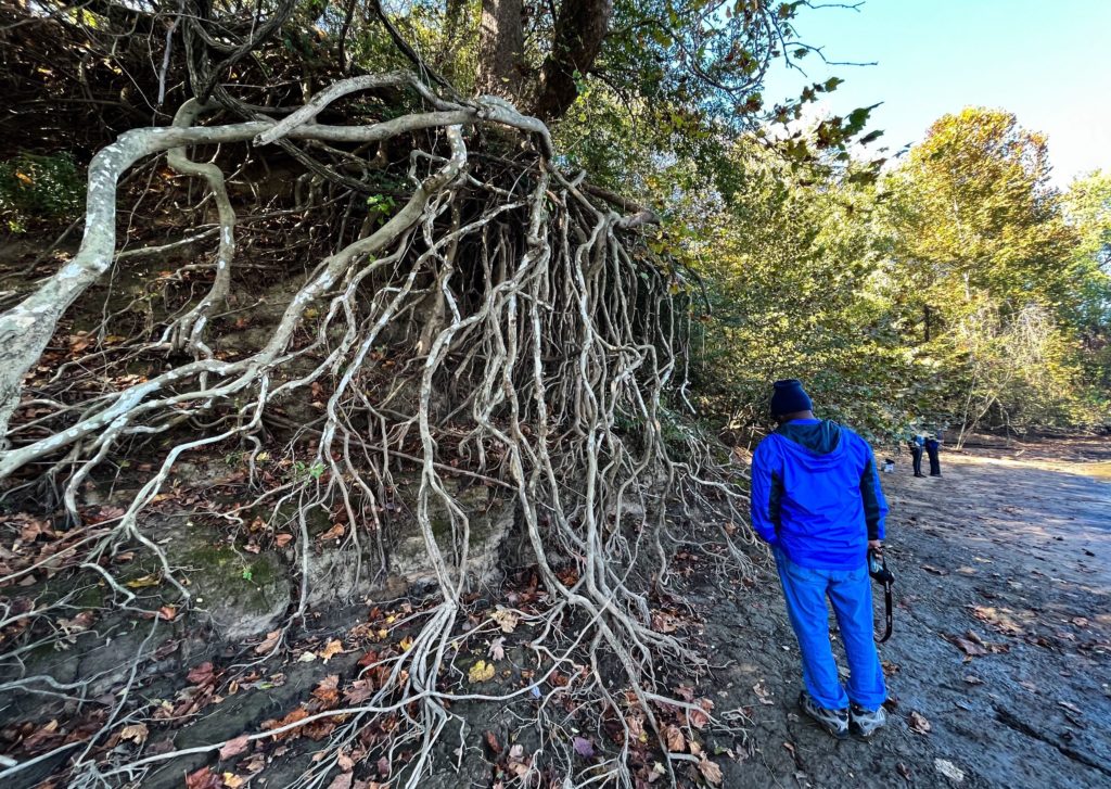
Yep, there’s another boat ramp — but for this list, we’re going to tout two simple riverside trails near the Shelby Bottoms Nature Center. One is the “storybook trail,” which runs from the train bridge pillar that’s south of the nature center to the greenway trail head. It’s only a few hundred feet, and makes for a family-friendly riverside path. It’s one of those places that’s barely marked (if at all) that’ll feel like you’ve unlocked a secret. If you continue along the greenway, over the first bridge, you can get a similar experience by ducking to the right down the Ecology Trail.

There’s a push to protect more creeks and rivers through land conservation and buffers. Credit: Tony Gonzalez / WPLN News (File)
Cumberland Park
Always a little surprising how few people — especially locals — spend time at this east bank riverfront park, just across the river from downtown. True, its splash pad has been closed for a couple seasons. But the focus here is to point you to the interesting infrastructure elements, including piers that extend out over the water. It can be hard to stand still, but try it! There’s so much to notice looking toward downtown, including the ominous mouth of one of the city’s largest tunnels.

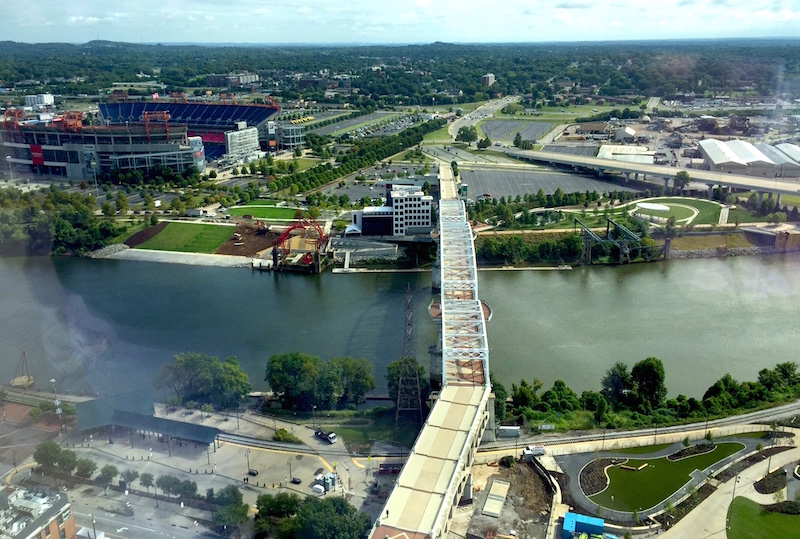
An overhead view of the Cumberland River from downtown Nashville.
Lock One Park
We’ve cleared downtown and reached perhaps the most unusual site on this list. Lock One Park is a narrow slip of a park, mostly ruins from a bygone era — and absolutely worth a pop-in. Curious Nashville explored it years back. It’s not a place to get into the water, but the old piers can get you right down to the water’s edge and afford an interesting view. (Nashville also has Lock Two Park in Pennington Bend, though it doesn’t get you particularly close to the water.)

Lock One Park
Levee greenway
Yes, it’s possible to work very close to the Cumberland River and not quite realize it right away — and that’s even the case for Nashville Public Radio in MetroCenter. One reason is that this bend of the river is, visually, hidden behind a levee. The good news is that a greenway runs along the top of it, and there are access point — stairs and ramps — to get you moving up on top of it.
Rock Harbor Marina
As detailed on This Is Nashville, this marina in West Nashville is undergoing a major revitalization. But there’s no reason to wait. The primary public attraction has long been the Blue Moon Waterfront Grille, where you can grab a drink or a bite and admire the turtles and paddlers.
Bells Bend Park
Now you’ll feel like you’ve escaped the city. The river might not be the most obvious main attraction of this Metro park, but the trails do include lengthy riverside portions and lots of points where you can get to the water’s edge. You’ll also be close to the Cleece’s Ferry Boat Ramp, which connects Bells Bend and Charlotte Park.


