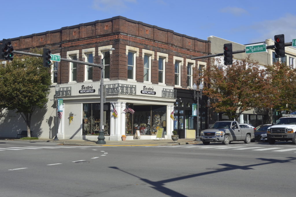
In Maury County, the consequences of the last once-a-decade redistricting process are clear.
The center of the county is downtown Columbia. While most residents there live and work together, on the ballot, they are split in two.
“One way to show the disconnect in Tennessee congressional districts, at least in for our area, is that James K. Polk would’ve woken up in his home in the morning in the seventh congressional district, but he would’ve walked a block down to the Columbia city courthouse and he would be practicing law in the fourth congressional district,” Columbia Mayor Chaz Molder said.
He’s describing the walk the eleventh president would’ve taken to get to work from his home in Columbia. If he were alive, Polk would’ve crossed over into a different congressional district, even though the walk is only three blocks.
“The fourth congressional basically goes east and northeast, the seventh congressional district basically goes west and northwest,” Molder said.
Prior to the last redistricting, nearly a decade ago, Maury County was the largest county in the fourth congressional district.
“So, we went from being the largest county in one congressional district to being split into two districts,” Molder said.
One part is represented by Mark Green, who lives in Clarksville. And the other part is represented by Scott DesJarlais, who lives just outside Chattanooga.
Maury County is heavily Republican, Molder feels like the viewpoints of people who lean Democratic in Columbia are watered down. And it’s not just for the congressional districts. The city is also split in its representation in the state House of Representatives. Most of Maury County has its own representation, while many of the historically Black neighborhoods are carved out and paired with more white Hickman and Dickson counties.
“There’s not a lot of similarities between downtown Columbia and rural Hickman county,” Molder said. “But that’s who’ve they paired us with.”
The effect is that most of the Black vote in Columbia is diluted.
This would commonly be called gerrymandering. Shanna Singh Hughey with ThinkTennessee describes the two different types.
“You could draw legislative boundaries to crack a community and distribute voters of color between several districts so you’re weakening their electoral influence,” Hughey said. “You could also pack communities of color into as few districts as possible.”
This kind of strategic map drawing that purposely dilutes the minority vote was outlawed with the passage of the Voting Rights Act. It was a product of a 1962 Tennessee Supreme Court decision that forced the General Assembly to redraw electoral districts.
The case came after Tennessee legislators refused to redraw the maps for roughly 60 years. In the end, the courts made states draw electoral districts that were equal in population.
“Our state gave rise to the body of Supreme Court decisions that established this one-person, one-vote standard that is one of the federal standards kind of governing the way that state legislatures have to do redistricting,” Hughey said.
Now, legislators are supposed to draw districts that are close to equal in population and that don’t discriminate based on race. All of that data is available to legislators through the census. But, Hughey says, drawing new maps isn’t just math.
“Redistricting at its best keeps communities of interest together. And the way that it does that is by listening to the folks who live in those communities about the boundaries of them,” Hughey said.
The legislature has been holding several meetings to hear just that. And they aren’t the only ones, the League of Women Voters of Tennessee is also holding meetings to gather public opinion. They along with other nonprofit organizations, local party branches and individuals are able to submit statewide plans online.
But exactly how much weight public opinion will have on end results is still up to question.
“Will the public have the opportunity to see the draft maps potentially, including the demographic information or the voting patterns of the district before they’re finalized?” Hughey asked. “Or, will it more be you send or upload these maps to the platform, then the next time you see the map is when it’s up for a vote in the General Assembly?”
Back in Columbia, where the congressional districts collide, Misty Gray is looking at her town’s district maps on a computer.
 Blaise Gainey WPLN News
Columbia resident Misty Gray looks at Tennessee congressional district maps.
“I don’t think ‘unfair’ is the word, but it’s not very organized in what I would think is an organized way,” Gray said. “A county just cut in half is just kind of odd.”
Gray runs the Columbia Health Foods, a health and wellness store that’s been in her family for close to 40 years. It sits on the edge of one congressional district. When she leaves work and walks up the street, she’s in another.
“It’d be much easier to have open conversations about what you need to speak to your representative about if you have the same person,” Gray said.
She says she hopes they consider putting her community back together.

