Hurricane Helene made landfall in Florida on Thursday, and soon after, parts of Tennessee began receiving dangerous remnants. The storm moved into the region as a tropical depression on Friday.
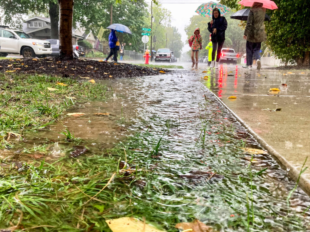
Multiple counties in East Tennessee were under flash flood warnings on Friday afternoon, as some places received at least 6 to 10 inches of rain in two days.
On Friday morning, Washington County was issued an “immediate evacuation” alert, and Hawkins County was issued a “shelter in place” warning.
A hospital in Unicoi County flooded, causing more than 50 people to await evacuations on its roof. A rescue via helicopters was ongoing as of Friday afternoon, according to TEMA.
On Friday afternoon, local officials ordered downtown Newport, a small town in Cocke County, to evacuate after fears the Waterville Dam would fail, according to the Tennessee Emergency Management Agency.
TEMA director Patrick Sheehan said the situation was still unfolding on Friday afternoon.
“We don’t yet know the number of Tennesseans that are impacted,” Sheehan said. “My intuition, looking at this, is that we have quite a few Tennesseans, thousands of Tennesseans, that will be in need.”
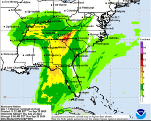
On Thursday, the National Oceanic and Atmospheric Administration forecasted rainfall totals of 6 to 12 inches for some areas, with potential for even higher amounts in isolated spots. That level of rainfall intensity can cause life-threatening flooding and landslides.
Many roads were closed down in East Tennessee and North Carolina on Friday due to floodwaters.
I-40 East is closed starting at MM 432.
This is the Pigeon River in Cocke County at MM 439.4. pic.twitter.com/CmbxuKwmHP— Mark Nagi (@MarkNagiTDOT) September 27, 2024
More than 100,000 people were without power in Tennessee as of Friday afternoon, and more than 4 million people were without power across the Southeast.
Nashville, Clarksville and parts of Middle Tennessee were forecasted to receive 4 to 5 inches of rainfall between Thursday and Saturday. Most areas in the region are forecasted to receive at least three inches, and localized flooding is possible, according to the National Weather Service.
NWS also forecasted wind speeds up to 40 miles per hour for Middle Tennessee on Friday. Strong winds can damage or kill trees, cause local power outages or displace unsecured items in yards.
More: Marine heat waves affect Tennessee. Here’s how.
Hurricane risk is high this fall.
For the past year and a half, Earth’s oceans have been abnormally hot — in record-breaking territory for at least 15 months straight, primarily because of climate change.
Fossil fuel burning, deforestation and agriculture are the main causes of the gases heating the planet, and the oceans have absorbed about 90% of this global warming in the past 50 years.
Ocean heat provides energy for storms: Hurricanes can become stronger and more destructive with heavier rain.
NOAA has predicted that La Niña, a global weather pattern affecting the oceans and prevailing winds, will likely emerge between September and November. In the Atlantic, the weather pattern tends to weaken vertical wind shear, so storms are less likely to be torn apart after they form — giving them more time to grow and strengthen. This is why La Niña can cause a more severe hurricane season.
This is a developing story. Some things that get reported early on, by the media or law enforcement, could later turn out to be wrong. WPLN News will have updates as the situation develops. This story was last updated at 4:10 p.m. on Sept. 27, 2024.


