

Flash flood. Severe thunderstorm. Tornado warning.
Middle Tennessee residents accrued 161 warnings for these three severe weather threats — sometimes simultaneously — in the first two weeks of April.
In the past decade, the number of warnings for the entire month of April has ranged from just 5 warnings to a high of 45 warnings in 2017, according to the Iowa Environmental Mesonet’s storm warning tool, looking at warnings from the National Weather Service in Nashville.
Most of these warnings vibrated last week, as a single storm system brought moisture from the Gulf of Mexico and collided with a stationary front. The multi-day storm killed at least 10 people in Tennessee.
In Middle Tennessee, Clarksville broke its highest four-day rainfall record with about 9.8 inches, as well as its five-day record with 10.1 inches between April 2-6. The city has subsequently experienced sinkholes, homes underwater and burst sewage pipes.
 Caroline Eggers
 A lightning flash illuminates the sky on April 5, 2025. Lilac-tinted lightning usually stems from high atmospheric humidity, indicating a rain-heavy thunderstorm.
Nashville’s four-day total accumulated to 6.32 inches, which is the city’s 14th-highest four-day rainfall event. The city also had its second-wettest day ever during the month of April, with about 3.9 inches on April 3.
West Tennessee also experienced severe flooding. Memphis had its second-highest four-day rainfall total with about 12.4 inches between April 2-5. The record was about 13.6 inches in 1877. Memphis also got nearly 5.5 inches of rain on April 5, now the wettest day ever recorded in April for the city. North of Memphis, Dyersburg had its highest four-day rainfall total at 9.83 inches.
But regionally, Kentucky ended up with the most rainfall.
At first glance, this might look like one of our state's many lakes. However, this is backwater from the Green River, which is cresting today in Woodbury near our site in S Butler Co. Thankfully, water has stayed just below our station's battery and datalogger box. #kywx pic.twitter.com/d8IPzaQbFa
— Kentucky Mesonet (@kymesonet) April 7, 2025
Marshall County in Western Kentucky had the highest five-day rainfall total with about 15.9 inches. This county, along with Muhlenberg County, also broke their three-day rainfall records with about 13 inches between April 3-5, according to data from the Kentucky Mesonet.
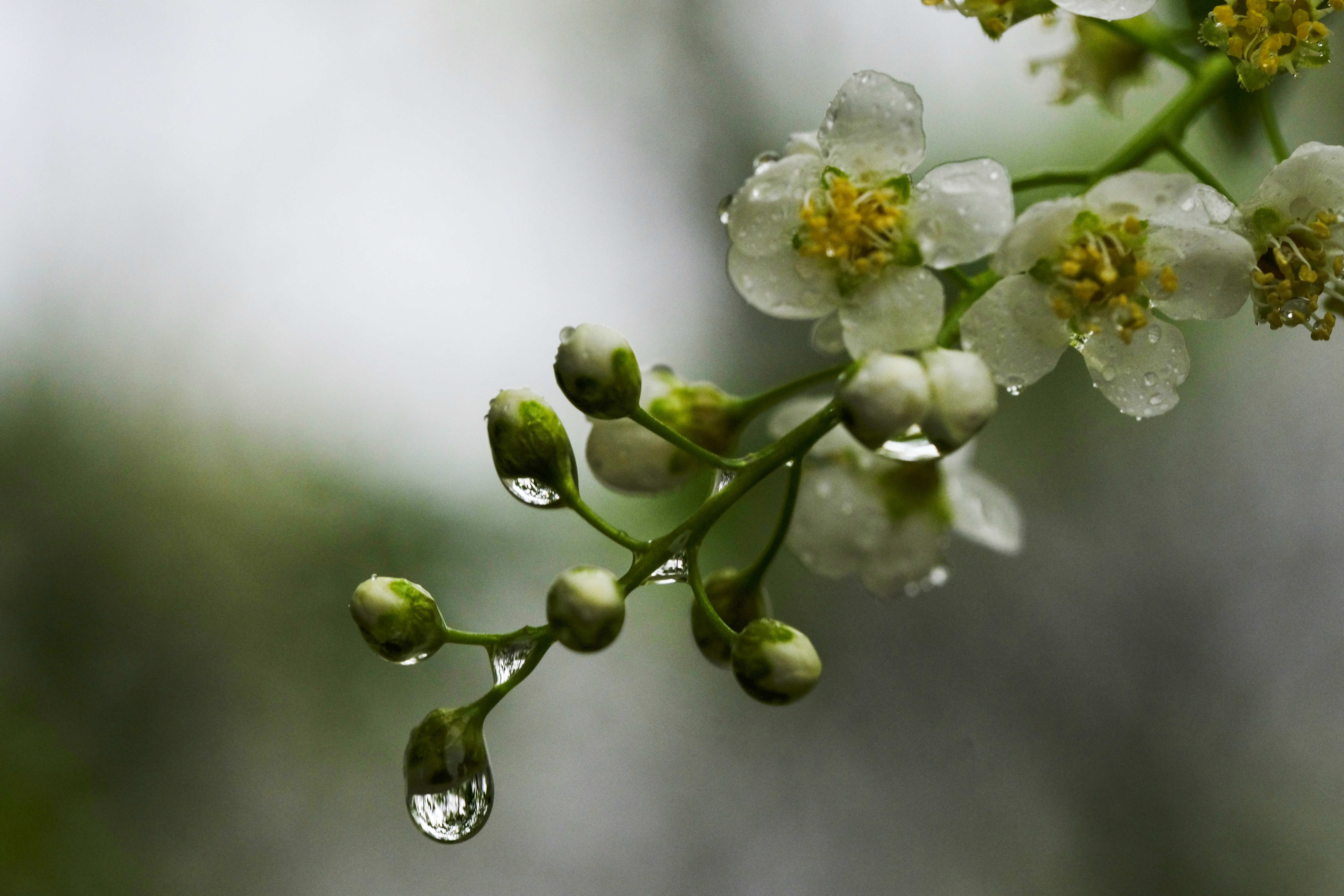 Caroline Eggers
 Raindrops form on a plum tree on April 5, 2025.
The National Weather Service in Paducah, which serves Western Kentucky, said it broke its record for the total number of severe thunderstorm, tornado and flash flood warnings in March with 139 warnings. The station has issued 162 warnings in April — which is already the third-highest total since modern record keeping for warnings began about 40 years ago. The station issued 79 warnings on April 2, which is the third-highest for any calendar day on record.
Bowling Green, an hour north of Nashville, recorded its highest four-day and five-day rainfall totals. City officials had responded to at least 18 sinkholes as of Tuesday, Louisville Public Media reported. Mammoth Cave also had its highest five-day rainfall total, according to NWS data.
Some areas in Kentucky accumulated more than 60% of their annual average rainfall in about 3.5 months, since the start of 2025.