Nashville set a record for the latest “first” freeze of fall last week.
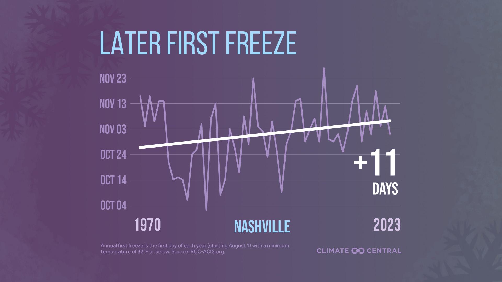
In 1970, the average first freeze of the season fell around late October. The current climate average is early November, about 11 days later, according to an analysis by Climate Central.
The new record for Nashville was set on Friday, Nov. 29, two days later than the previous record. The city dropped to 31 degrees that night, according to the National Weather Service.
As the planet heats up, fall has been getting hotter across the country. The vast majority of cities are getting their first freezes later in the year, according to the Climate Central analysis.
Some cities have had more extreme fall warming. Reno, Nevada gets its first freeze an average of 41 days later, and the average for Toledo, Ohio is 28 days later than in 1970.
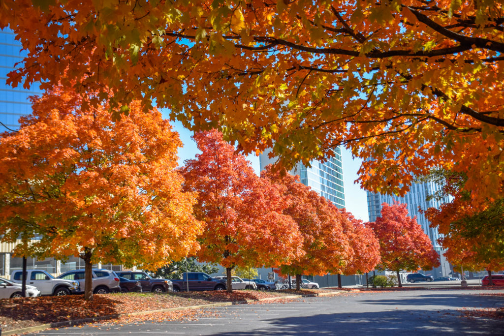
The first freezes of fall serve as key ecological signals, affecting fall foliage, animal hibernation and bird migration. This can also translate to secondary effects like lingering fall allergies and greater wildfire risk.
In Nashville, this fall tied for the third-hottest on record. And 2024 could surpass last year as the city’s hottest.
A couple of cold troughs are moving through the region now, but some weather forecasts show Nashville temporarily warming back up to 60 degrees next week.


