

More rain is on the way to Middle Tennessee on Tuesday, and flash flooding remains a threat. The National Weather Service says another 2 to 4 inches could fall on top of the 1 to 3 inches that hit Monday.
As of 8:30 a.m. Tuesday, no flash flood warnings had been issued. There have been reports of:
- multiple trees down and a half-dozen wires down across Davidson County;
- more than 2,000 Nashville Electric Service customers without power;
- and nearly 1,000 Cumberland Electric customers in Sumner County without power.
All Middle Tennessee counties are under a flood watch until 1 a.m. Wednesday. A flood “advisory” was in effect until 11:45 a.m. for northwestern Cheatham County, eastern Montgomery County and western Robertson County.
Forecasters have decreased the threat for severe weather like high winds or tornadoes, noting the strongest chance is for those to occur in the far eastern portion of Middle Tennessee.
Storms alter plans
Nashville is delaying the opening of its COVID testing and vaccination site by 2 hours this morning because of the rain and threat of flooding. The assessment center at the former K-Mart on Murfreesboro Pike opens at 9 a.m., though officials caution that time could still change, based on the weather.
Meanwhile, Lawrence County Schools are closed today due to flooding concerns.
And in a preemptive move, the Bonnaroo music festival has announced it is reducing its camping capacity. That’s because organizers expect portions of the campgrounds will be rendered unusable by the heavy rains.
Bonnaroo says it’s offering full refunds for both tickets and accommodations through 8 p.m. Tuesday. The festival has not responded to questions about what portion of the campgrounds will still be usable. It says it will be monitoring the storms and provide updates as soon as possible.
This is a developing story.
Reported earlier
Nashville’s Office of Emergency Management is preparing for possible floods, as remnants from Hurricane Ida are anticipated to bring heavy rainfall to Tennessee through Wednesday.
Nashville Fire Department’s water rescue team has been on stand-by since Friday. Vehicles and boats are fueled and ready for deployment.
Meanwhile, meteorologist Josh Barnwell of the National Weather Service says Middle Tennesseans should not anticipate the same intensity of rain that recently caused flash flooding in Humphreys and other nearby counties.
“We’re not expecting the speed, the magnitude of what we saw last week. We’re not going to get those kinds of rain fall rates,” he says. “This is going to be over a longer period of time.”
Still, localized flooding is possible, with rain expected to begin Monday and continue falling through Wednesday. The threat of severe weather, like high winds or tornadoes, is heightened tonight. All Middle Tennessee counties are under a flood watch from 7 p.m. tonight until 1 a.m. Wednesday.
While many local hospitals have been struggling with capacity due to the latest surge in COVID cases, trauma centers like Vanderbilt University Medical Center say they currently have room for possible flood-related injuries. However, that could change depending on COVID hospitalizations.
 Samantha Max WPLN News
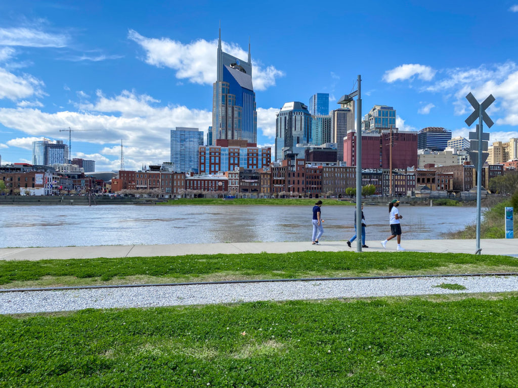
High waters in downtown Nashville after flooding in March 2021.