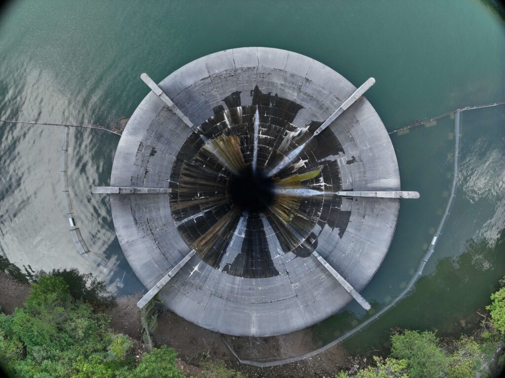
Multiple dams in East Tennessee reached their highest peaks during recent severe floods, prompting evacuations and anxiety over potential failures.
Ultimately, the dams held.
But what if they failed?
Breaches can devastate communities and ecosystems, leading to loss of life, displacement and long-term societal impacts. In Tennessee, the extent to which dam failures would cause flooding or how best to take action is partially unknown.
“All emergency action plans are outdated and include flood inundation areas that are also outdated or incorrect,” the Tennessee Emergency Management Agency wrote in its State Hazard Mitigation Plan last year.
In this statement, the agency is referring to dams deemed a significant risk to life: the state’s “high hazard” dams.
Tennessee has 274 ‘high hazard’ dams
Tennessee has about 1,200 dams with an average age of 54 years. Of these dams, 274 are considered “high hazard potential,” defined as a dam whose failure or misoperation will likely cause loss of human life. This designation does not reflect the condition of the dam: Most state and federal dams are considered in good condition, according to the National Inventory of Dams, run by the U.S. Army Corps of Engineers.
It reflects risk.
During the recent floods, the region’s dams managed rainfall from both Tennessee and North Carolina: the Pigeon, Nolichuchy and French Broad rivers flow from the mountainous terrain in Western North Carolina into Tennessee valleys. Many dams impacted by storms, including the dams where failure was feared, are classified as high hazard.
The Nolichucky Dam is one example.
The Nolichucky River flows into the state from Yancey County, N.C., which received the heaviest rainfall in the region — a mesonet station caught 24 inches in three days and another station recorded 31 inches of rain over three days. This tremendous water load washed across state lines and slammed into the Nolichucky Dam.
On Sept. 27, near midnight, the Nolichucky Dam was at risk of “imminent failure.” The Tennessee Valley Authority, the dam’s owner, issued a red alert “due to a lack of visibility at the dam and high water levels at the dam that were rising at that time about 2 feet per hour,” TVA said in a statement.
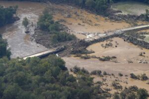
 George Walker IV AP Photo
An aerial view a damaged bridge and flooding in the aftermath of Hurricane Helene is seen along the Nolichucky River, in Greene County.
Officials subsequently evacuated residents in the known flood zone.
“If that dam had failed, you’re talking about 94 feet of water and sludge and silt and sand, and all that’s gonna be let go all at once,” Ron Metcalfe, who lives just downstream of the dam in Greeneville, said after the storm.
Locals also expressed concern about potential collisions with upstream debris, like chunks of concrete from collapsed bridges. TVA later suggested this would not cause a failure situation at the Nolichucky, because it is a “spillover” dam without spillways or gates. TVA said its dams are designed for impacts, and there were “no major concerns” with debris at any of its dams during the storm.
The Nolichucky Dam eventually broke its record elevation by about 9.5 feet but remained intact, according to TVA. The utility shared a video of water cresting over the dam early Friday morning on social media.
⚠️(Nolichucky Dam Update)⚠️ The Nolichucky River has crested, and the dam remains intact. Water is currently receding by approximately one foot per hour. Our Dam Safety teams are in the process of assessing the condition of the dam to determine next steps.
We are estimating water… pic.twitter.com/gacmrPmr9Y— Tennessee Valley Authority (@TVAnews) September 28, 2024
This was not the only site of a feared breach.
Officials in Cocke County initially warned that Duke Energy’s Waterville dam in North Carolina had a catastrophic failure and evacuated the nearby town of Newport, Tenn. before retracting the statement.
The dam impounds the Pigeon River, which rose at least 5 feet above its previous record to 30.5 feet in Newport. (WPLN asked Duke Energy who communicated the failure to local officials. “We cannot speak on behalf of others, but as the operator of the Waterville Dam, Duke Energy did not report an issue with the operation of the dam,” spokesperson Jennifer Garber said in an email.)
How bad is the risk?
Dam collapses can be another tier of catastrophe. In Libya, last year, a dam collapsed after a heavy rain event and killed between 4,000 and 11,000 people, according to some official estimates.
If a dam fails, systems for safety, food, water, shelter, medical aid, energy, communications, transportation and hazardous materials “all are at risk of failure,” according to the Tennessee Emergency Management Agency.
The agency has made calls for more data on the state’s dams over the past decade.
“A data deficiency is declared for dam inundation zones for high hazard potential dams in the state of Tennessee and the impacts it could have on specific institutions and critical infrastructure and community lifelines within the hazard area,” TEMA wrote in the 2023 State Hazard Mitigation Plan.
The state has made promises to improve dam safety in the past. TEMA releases hazard mitigation plans every five years. In 2013, the state said it would identify and assess community risk from potential dam failures. In 2018, the state said it would develop a fund-ready project for dam breach modeling for all high-hazard dams by October 2023. TEMA did not respond to a request for comment from WPLN about the status of these efforts.
Preparing for future disasters
Regionally, the cycle of droughts and heavy rains has intensified with climate change. Droughts can impact water supply, disrupt hydroelectric power and increase evaporation, causing the soil beneath dams to shrink and become more prone to cracks and instability, according to TEMA. The expansion and shrinkage of soils can both shift dirt and cause landslides.
“Erosions in the abutments of the dams can create a failure situation,” said Arpita Nandi, an engineering geologist at East Tennessee State University who helped TEMA with the most recent hazard mitigation plan.
She echoed that the state needs to update its data sets and flood mapping: The state has not modeled the land since 2015, and the topography has changed with new development.
“There is absolutely a need for another set of LiDAR data, which is high-resolution terrain data which can help us really understand our floodplains,” Nandi said.
Nandi said the best thing we can do is inspect dams often and thoroughly while keeping up with the latest science and engineering — especially when rebuilding damaged infrastructure.
“This is the time,” Nandi said. “We need to keep in mind these changing systems, this changing climate, and think about the resiliency for the coming years.”
Update: This story has been updated with new information about the Nolichucky Dam provided by the Tennessee Valley Authority.

