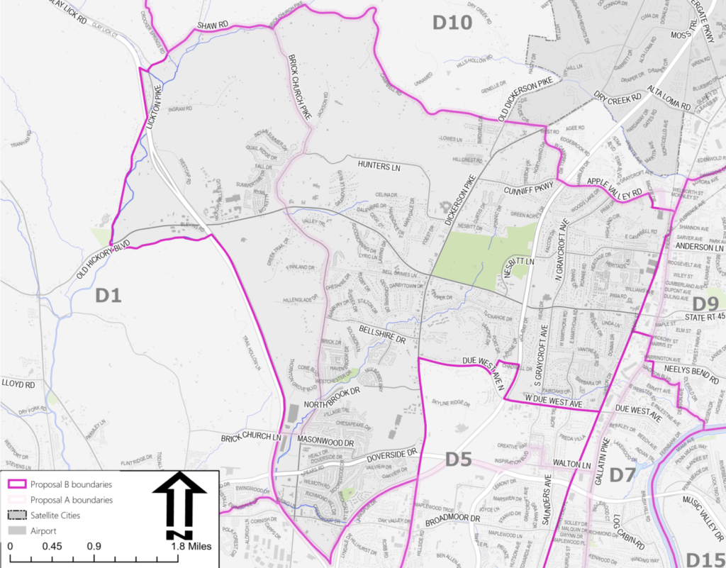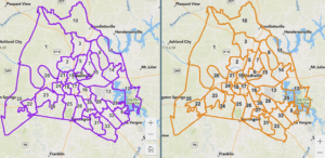
Metro Nashville released its latest plan for drawing council district lines on Friday, responding to public concerns on the initial draft.
The new map shows substantial changes to East Nashville, Bordeaux, West Nashville and Southeast.

Nashville redraws these lines every 10 years to reflect changes in population. Since certain areas receive more growth than others, the goal of having roughly the same amount of people in each district can be tricky.
The city must also consider factors like preserving historical corridors, geographical divides like the Cumberland River, and maintaining minority representation for fair voting — to avoid underrepresentation on council boards.
The city will be accepting feedback next week, and people can drop by the Metro Planning Department’s offices at 800 Second Ave. S. on Monday from 10 a.m. to 7 p.m.
The final version could be adopted as soon as this month or as late as January.

