Updated 5:35 p.m.
The National Weather Service has issued another flash flood watch for Nashville and much of Middle Tennessee. Up to 2 more inches of rain is expected to fall on the region starting Tuesday and continuing through Wednesday. The watch begins at 7 p.m.
Meteorologist Brendan Schaper says, that could cause isolated dangers but not widespread flooding.
“There could be minor, quick rises in the rainfall, depending on how fast the rainfall occurs. But right now we’re not expecting any major major issues.”
Unfortunately, more rain and some storms arrive late this afternoon & continue off and on into tomorrow. Around 1"-2" of rain is expected, which could quickly cause some flooding issues after last weekend's rain – and a Flash Flood Watch is in effect from this evening thru Wed pic.twitter.com/Lp559R5tSL
— NWS Nashville (@NWSNashville) March 30, 2021
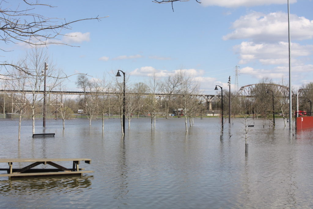
The Cumberland and Harpeth rivers are no longer at flood stage, and creeks are back to normal levels.
The upcoming rainfall could make this the wettest March on record. As it stands, Nashville is 1 1/2 inches shy of the record set in March 1975.
Meanwhile, freezing temperatures could return Thursday through Saturday — potentially into the 20s, causing patchy to widespread frost.

